
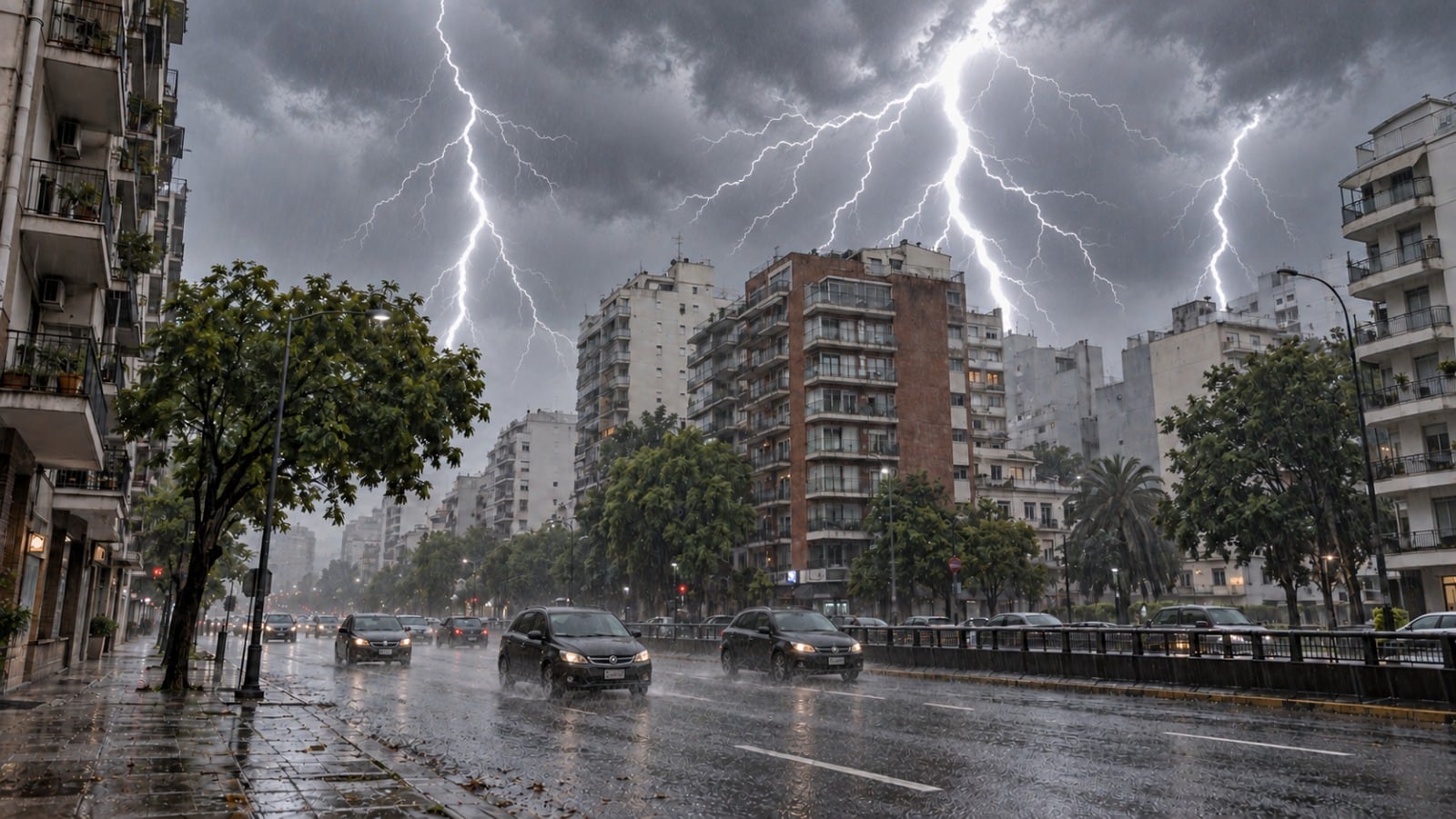
Se vienen 48 horas de un fenómeno que provocará inestabilidad, lluvias y tormentas, actividad eléctrica y caída de granizo: las zonas afectadas
Full story
A mass of cold air moving from the south will bring instability, rain, and storms to much of central and northern Argentina. The weather pattern includes electrical activity and hail. Wednesday is expected to have the highest thermal contrast. Some areas in the northeast could see up to 140 millimeters of rain by Friday.
Una masa de aire frío avanzará desde el sur y favorecerá precipitaciones en buena parte del centro y norte argentino; este miércoles será la jornada de mayor contraste térmico y el noreste podría acumular hasta 140 milímetros hacia el viernes