
Inteligencia artificial y mapas en la nube: cómo la tecnología podría ayudar frente a desastres del fenómeno El Niño
Full story
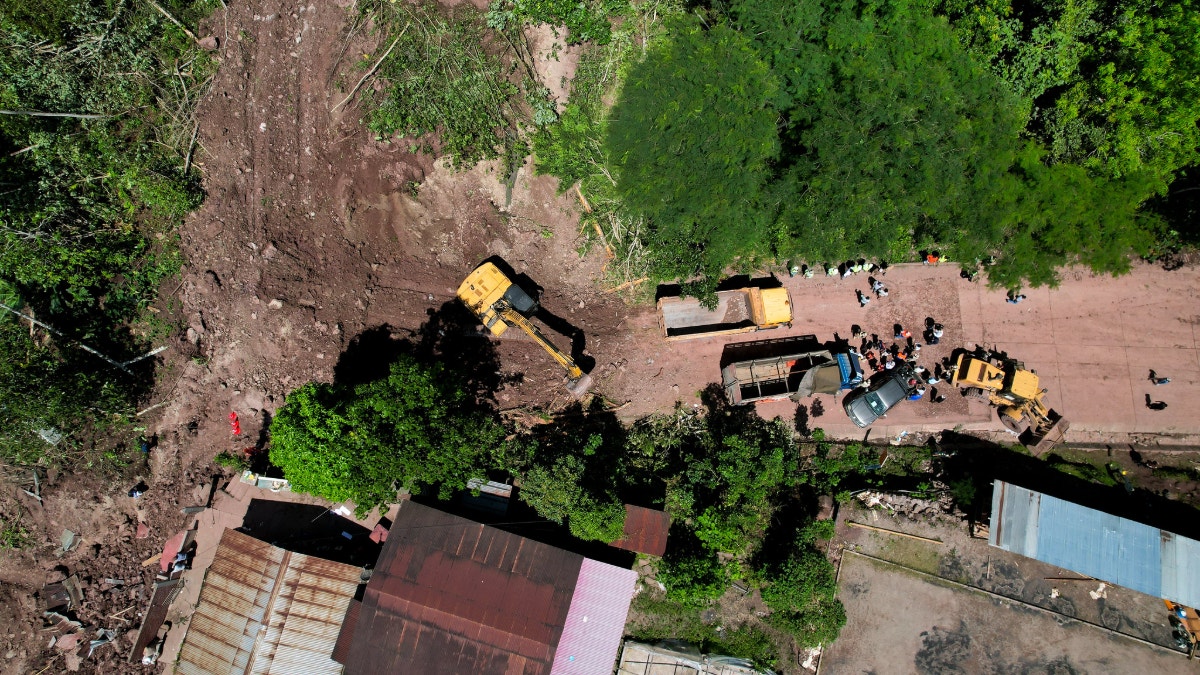
The looming threat of landslides and floods linked to the El Niño phenomenon could be mitigated with new technology. Drones equipped to survey affected terrain can capture real‑time images of vulnerable zones. Immediate processing of that data in cloud‑based mapping systems would allow responders to pinpoint communities that are absent from existing digital maps. Such rapid location of at‑risk populations could become a crucial tool in disaster response.
Frente a la amenaza de huaicos e inundaciones, el uso de drones y el procesamiento inmediato de datos podría convertirse en herramientas clave para localizar poblaciones vulnerables que no figuran en los mapas digitales.